Ever wonder why a stormwater fee shows up on your Charlotte utility bill each month? When you are budgeting for home expenses, an extra line item can raise questions. You want to know what you are paying for, how the City calculates it, and whether there is a way to lower the charge. In this guide, you will learn how the fee works in Charlotte and Mecklenburg County, what affects your amount, and practical steps to verify or reduce it. Let’s dive in.
What the stormwater fee covers
The stormwater fee funds public drainage and water-quality work across Charlotte and Mecklenburg County. That includes stormdrain upkeep, flood mitigation projects, and restoration efforts like ponds, wetlands, and stream improvements. It also supports inspections, permitting, and regulatory compliance.
It is not a property tax or a water-usage charge. The fee exists to maintain and improve the systems that manage runoff when it rains.
How it appears on your bill
In Charlotte and Mecklenburg County, the stormwater fee usually shows up as a separate line on your monthly utility statement, often alongside water and sewer. Depending on where your parcel sits, it may be billed through city or county systems. The amount is tied to your property, not to how much water you use.
How Charlotte sets your fee
Impervious area drives the charge
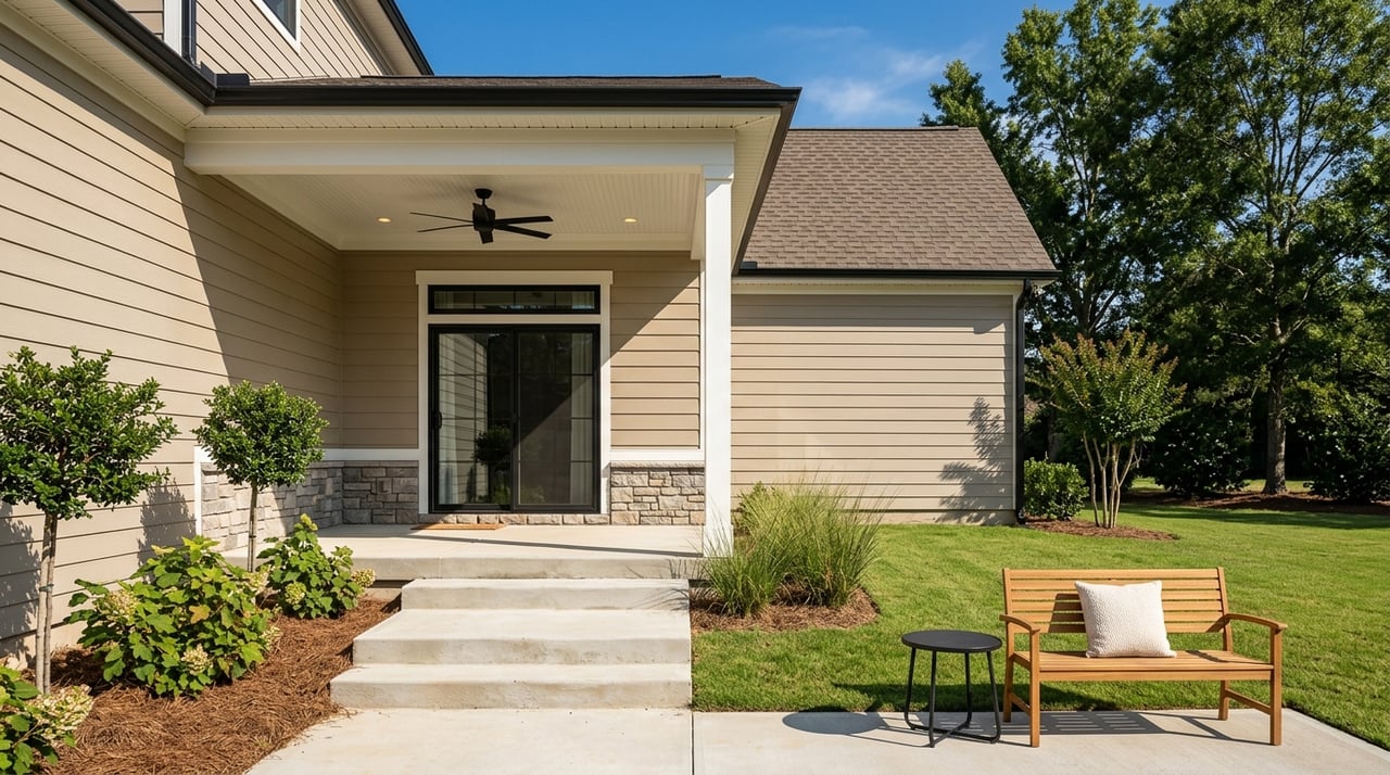
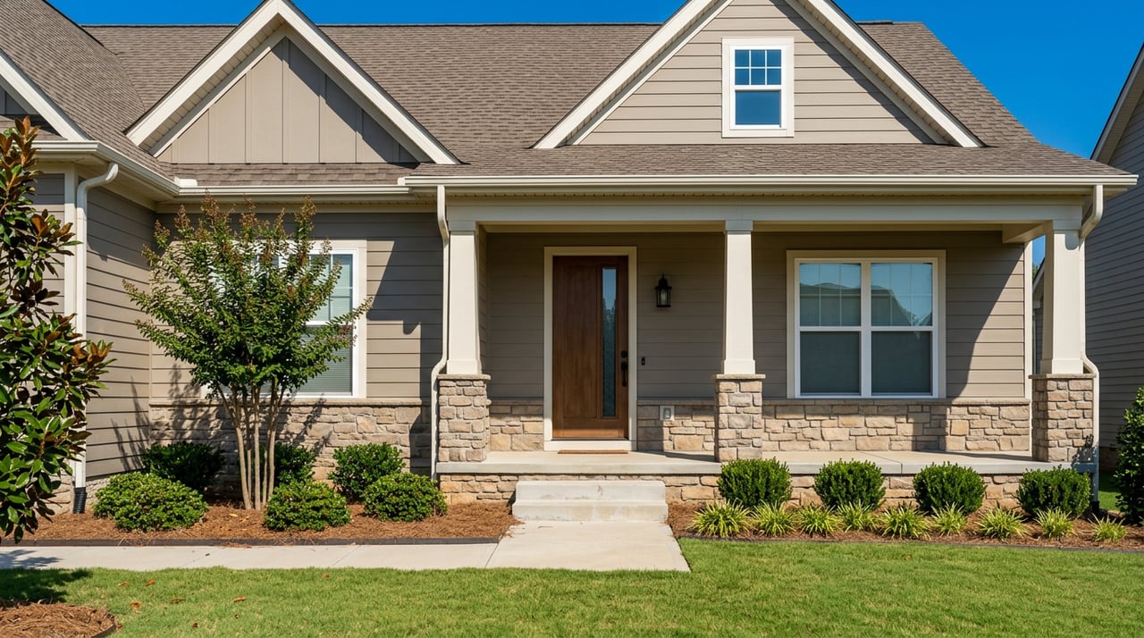
The core idea is simple. The more impervious surface you have, the more runoff your property sheds, which increases demand on the public system. Impervious areas include roofs, driveways, sidewalks, patios, and parking pads. Local staff measure this using GIS parcel data and aerial imagery.
Residential tiers and ERUs
Most places use a two-track system. Single-family residential parcels are grouped into tiers based on ranges of impervious area. This makes billing straightforward for many homes at once. Commercial and multi-family sites are typically billed on measured impervious square footage.
Some programs define an Equivalent Residential Unit, or ERU, which represents the average impervious area of a single-family home. Local rate schedules explain whether ERUs or direct square-foot rates apply and list current tier cutoffs.
What can change your tier
Any change that adds or removes hard surface can move you between tiers. New driveways, pools, additions, and patios can increase impervious area. Removing pavement or demolishing structures can decrease it. Updates are based on permits, inspections, and periodic aerial reviews, so changes may not appear immediately.
Credits, exemptions, and appeals
How credits work
Credits reward on-site practices that reduce runoff or improve water quality. They lower your monthly fee by a percentage, depending on the practice and its impact. Most credits begin after approval and require documentation, maintenance, and sometimes re-certification to remain active.
Common ways to qualify
- Rain gardens or bioretention areas that capture and soak in water
- Infiltration trenches or pervious pavements that allow water to pass through
- Cisterns or rain barrels sized and installed to program standards
- Disconnecting roof downspouts from storm drains and routing them to vegetated areas
- Vegetated buffers, preserved open space, or conservation easements that reduce runoff
Exemptions and special cases
Certain public or tax-exempt entities may receive special treatment, but exemptions vary and are not automatic. Vacant or undeveloped parcels may be billed differently than developed lots, depending on local rules.
If the measurement looks wrong
If your bill does not match the size of your hard surfaces, you can request a review. Local stormwater or GIS staff typically accept appeals and may re-check aerial data or visit the site. Be prepared to share photos, permits, or plans to support your request.
Step-by-step: Check and lower your fee
- Find your parcel record.
- Use the Charlotte or Mecklenburg County GIS map or parcel viewer to pull up your property and see the listed impervious area.
- Compare to your bill.
- Look at the stormwater line and note your tier or billed impervious area. Compare it to the GIS value to see if it aligns.
- Call if something seems off.
- Contact utility or stormwater customer service and ask how your parcel was measured and which tier or rate applies.
- Gather evidence if you disagree.
- Collect recent photos, permits, site plans, or contractor invoices that show what changed or what exists on site.
- Submit a correction or appeal.
- File a formal request for re-measurement. Staff may review aerial imagery or schedule an inspection.
- Check for credit eligibility.
- Review the local credit program. If you have a rain garden, pervious drive, cistern, or similar practice, assemble your documentation and apply.
- Plan projects with credits in mind.
- Before adding a rain garden or pervious surface only for a credit, confirm the expected credit amount, application cost, inspection steps, and maintenance duties.
- Keep records.
- Save plans, maintenance logs, and approvals, since credits may require re-certification.
Timing and expectations
GIS updates, field inspections, and credit reviews can take weeks or months. Most credits reduce future bills after approval. Policies on retroactive changes or refunds vary, so set expectations accordingly.
When you buy or sell
The stormwater fee is a property-based charge that stays with the parcel. During a sale, it is handled like other utilities at closing. If you are buying, ask to review recent utility bills so you understand the typical stormwater charge. If you live in a neighborhood with an HOA, remember that impervious area on HOA-owned common parcels is typically billed to the HOA, not individual owners.
Practical scenarios
New driveway installed
- Expect your fee to change after GIS updates or after a re-measurement linked to your permit. Ask staff for timing.
Renting out or selling your home
- The fee remains with the property. Your closing team handles final billing and any adjustments at settlement.
Simple DIY steps
- Downspout redirection to vegetated areas and properly sized rain barrels may qualify for small credits, based on local rules.
Missed payments
- Nonpayment is handled under utility billing policies. Late penalties or collection actions can apply under municipal rules.
We are here to help
Understanding your stormwater fee can help you budget wisely and even identify projects that improve your property and the community. If you are planning updates that affect impervious area, or you want to confirm how the fee could impact a sale, our local team can walk you through next steps. Cindy McCoy and our boutique brokerage bring practical, neighborhood-level insight and a strong network of vetted service providers.
Have questions about how your fee may affect your move or next project? Connect with our team for clear guidance and a market perspective tailored to your neighborhood. Ready to explore your options? Reach out to Unknown Company and Get Your Free Home Valuation.
FAQs
What is Charlotte’s stormwater fee and why is it billed?
- It funds public stormwater services like drainage maintenance, flood mitigation, and water-quality projects. It is separate from property taxes and water usage.
How does Charlotte calculate my stormwater fee for a home?
- The fee is based on impervious area. Single-family homes are assigned to tiers, while larger or non-residential parcels are billed on measured square footage.
Can I lower my stormwater fee with on-site improvements?
- Often yes. Credits may be available for practices like rain gardens, pervious pavements, and cisterns when designed and maintained to program standards.
What should I do if my bill looks too high for my property?
- Compare your bill to the parcel’s GIS impervious area, then contact customer service to review the measurement. Submit photos, permits, and plans if you request a correction.
How long do corrections or credits take to appear on my bill?
- Reviews, inspections, and GIS updates can take weeks to months. Credits generally apply to future bills after approval, and retroactive changes vary by program.