Stuck between I-77 traffic and the idea of a simpler commute? If you want urban convenience without giving up neighborhood feel, living near Charlotte’s LYNX Blue Line can be a smart move. In this guide, you’ll get a clear look at how the line works, a station-by-station neighborhood orientation, and practical tips to buy or sell with confidence. Let’s dive in.
How the Blue Line works
The LYNX Blue Line runs south to north from the I-485/South Boulevard terminus through South End and Uptown, then on to NoDa and the UNC Charlotte area. The corridor spans roughly 18 to 19 miles with 26 stations, including several park-and-ride options. You can review the official station list and parking details on the city’s site for CATS stations and park-and-ride info.
Service typically runs from early morning into late evening with more frequent trains during rush hours and longer gaps off peak. Always check the latest schedule on CATS before you plan a commute. The Blue Line serves both daily commuters and local trips between neighborhood hubs.
Quick tip for map reading
When comparing homes, anchor your search by the nearest station and the walk time. A quarter mile is usually a 5 to 10 minute walk. A half mile is often a 10 to 15 minute walk, depending on signals and crossings.
Neighborhoods along the Blue Line
Below is a south to north orientation with quick profiles to help you narrow options faster.
I-485/South Boulevard terminus
A suburban gateway with large park-and-ride lots and growing infill along South Boulevard. It works well if you want lower price per square foot a bit farther from the core and an easy park-and-ride commute. Expect more auto-oriented retail and emerging mixed use close to the station. Review parking options on the CATS stations page when comparing.
Scaleybark, Woodlawn, Tyvola
These are transition areas where suburban single-family streets meet station-focused multifamily nodes. Walkability is moderate right around stations, and car convenience increases as you move out. Good fit if you want yard space with practical rail access.
South End and the Rail Trail
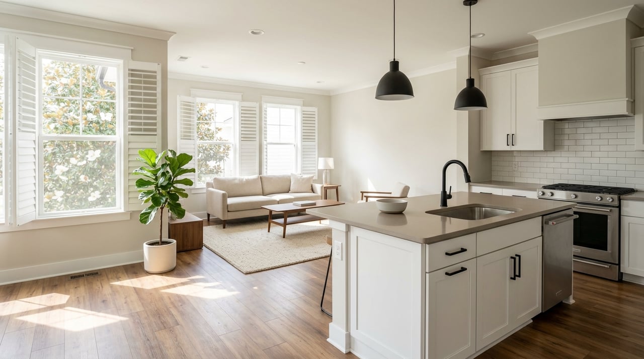
South End is one of Charlotte’s most walkable, transit-oriented neighborhoods with a dense mix of restaurants, shops, and the Rail Trail. Expect condos, new townhomes, and infill single-family conversions, plus strong demand. Explore the South End Rail Trail to get a feel for daily life here.
Uptown / Center City
This is Charlotte’s jobs and entertainment center with sports, arts, and dining. Housing near stations leans toward condos, lofts, and townhouse conversions. Foot traffic and event activity ebb and flow, and it is a primary hub for transfers. Long term, Gateway Station planning ties into regional connectivity, as reported by the Charlotte Observer.
Dilworth, Wilmore, Second Ward pockets
Historic, tree-lined streets with bungalow-era homes and higher single-family values near central stations. You get close-in living with a short ride into Center City. Buyers who want character homes and a quick commute often start here.
Elizabeth and Plaza Midwood adjacencies
Established central neighborhoods with independent retail and dining. You will see a mix of historic homes, bungalows, and infill townhomes. Many buyers choose these areas for neighborhood character and proximity to Uptown and NoDa.
Optimist Park and NoDa
NoDa is Charlotte’s arts and music district with galleries, venues, and renovated mill spaces. The Blue Line extension improved connectivity and helped spur redevelopment. Expect a mix of renovated bungalows, loft-style homes, and new multifamily, with a lively dining and brewery scene.
Sugar Creek, 25th Street, 36th Street
These nodes are in transition, with industrial-to-residential projects and mixed multifamily. Walkability varies by block. If you want proximity to NoDa and Uptown without top-tier premiums, put these on your list.
University City and UNC Charlotte
Stations at University City Boulevard, JW Clay, and campus serve students, staff, and area employers. Commutes to Uptown are consistent by rail, and mixed-use development continues near station nodes. The Blue Line Extension launch markedly improved access here.
Market and planning context
Charlotte’s metro prices have climbed since 2019 and remained elevated into 2025. Local reporting placed the March 2025 metro median near 385,000 dollars, approaching or exceeding the national median, per Axios. Station-adjacent neighborhoods like South End, Dilworth, NoDa, and University City often command premiums relative to more auto-oriented areas.
Research across U.S. transit markets shows a measurable “transit premium” for properties within walking distance of frequent rail stations. During past downturns, homes near robust transit corridors performed better than peers, according to an APTA and NAR study summarized by Mass Transit. Your exact premium will depend on the station area and property type, so lean on recent local comps.
Planning matters too. CATS has identified future corridors and a proposed Blue Line extension toward Pineville and Ballantyne in its Transit System Plan. Funding and approvals will shape timing, but adopted plans can attract developer interest and influence long-range expectations. Track updates on the CATS Transit System Plan.
Taxes and budgets change yearly. Mecklenburg County adjusts rates through the annual budget cycle, so check the latest releases to understand total tax bills for a property. You can review current budget actions via county news, such as the FY2025 update on the Mecklenburg County site.
Public safety perceptions can affect demand. The Charlotte-Mecklenburg Police Department publishes citywide and division-level data and offers crime-mapping tools that you can check by address. Start with CMPD’s crime statistics page and visit the block at different times of day.
Buyer and seller tips
For buyers
- Define your must-haves: walk time to the station, parking needs, and noise tolerance.
- Tour at different times: rush hour, evenings, and event nights to gauge activity and sound.
- Review HOA details: parking allocations, guest policies, and financials for condos or townhomes.
- Verify risks: check for any floodplain concerns and ask inspectors about rail-adjacent vibration if the home is very close to the tracks.
For sellers
- Be specific in your listing: name the station and the walk time. If it helps, note typical peak frequency from CATS.
- Stage the lifestyle: highlight the Rail Trail, nearby dining, and any reserved parking or EV charging.
- Price with precision: pull comps within a half mile of your station and adjust for home type and finishes. Station-area comps can trade at a premium, but confirm with fresh sales.
Thinking about a move along the Blue Line or weighing in-town versus suburban trade-offs? Let a local, owner-led boutique guide you with clear advice, hands-on prep, and proven marketing. Reach out to McCoy Real Estate, Inc. to plan your next step with The Real McCoy on your side.
FAQs
What is the LYNX Blue Line and where does it run in Charlotte?
- It is Charlotte’s light-rail corridor running south to north from I-485/South Boulevard through South End and Uptown to NoDa and the UNC Charlotte area, with multiple stations and park-and-ride options.
How often do Blue Line trains run during commute times?
- CATS typically increases frequency during peak hours and reduces it off peak, so check the current schedule before you plan a daily commute.
Which Charlotte neighborhoods near the Blue Line are most walkable?
- South End and Uptown are the most transit-oriented, with dense amenities and the Rail Trail, while other stations vary by block in walkability.
Do homes near Blue Line stations usually cost more?
- Many station-adjacent areas show premiums due to convenience and amenities, but the size varies by station and property type, so use recent local comps to quantify it.
What future rail projects could affect Blue Line values?
- The CATS Transit System Plan includes proposed expansions, including a Blue Line extension toward Pineville and Ballantyne, which could influence long-term demand if funded and approved.
How can I check safety near a specific Blue Line station?
- Review CMPD’s public crime data and mapping, then visit the area at different times to understand activity, lighting, and foot traffic.